Centrepointe
A Nepean community around Ben Franklin Place, with a Transitway station about 1 km away.
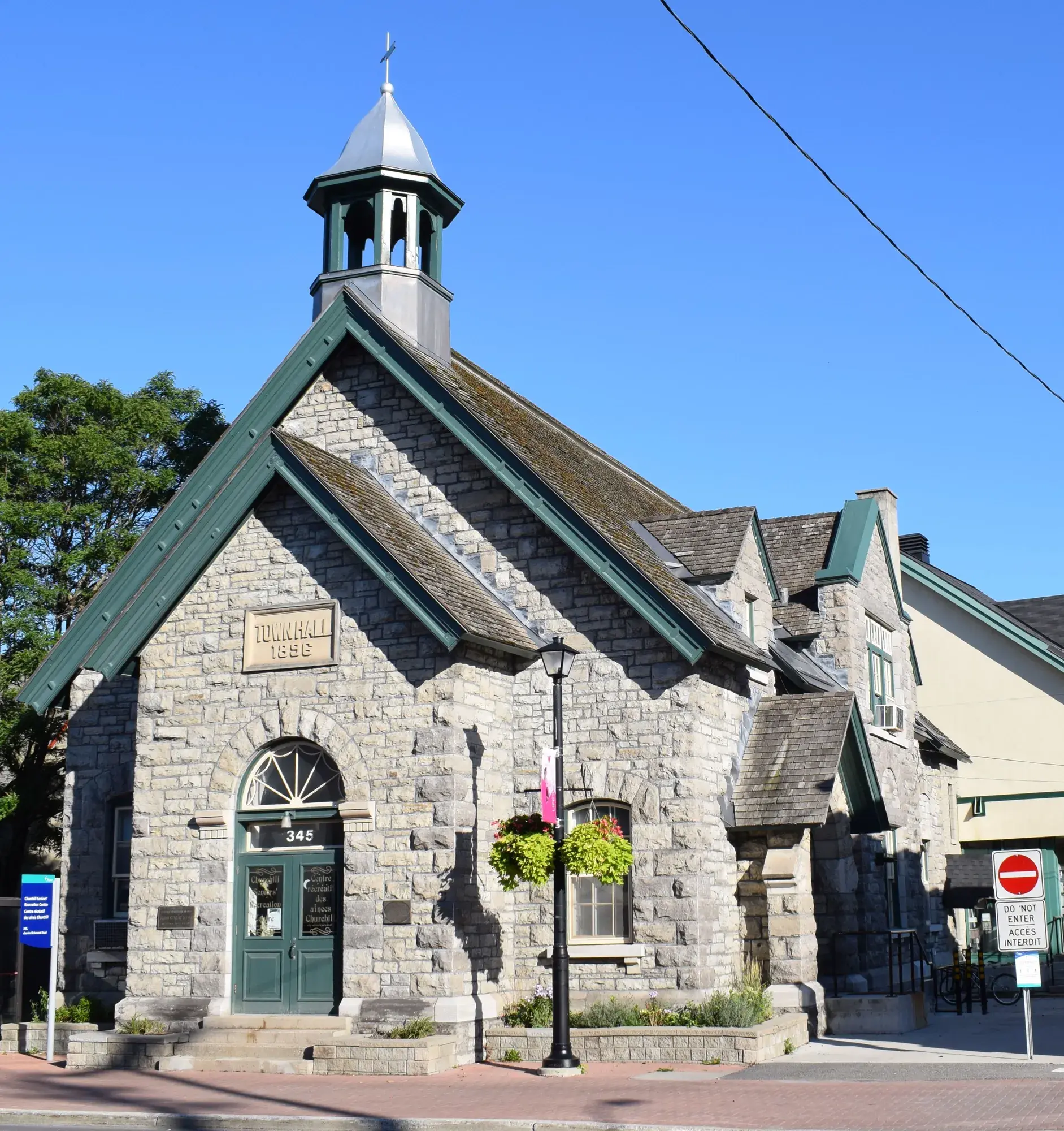
Centrepointe had 9,260 residents in 3,700 private dwellings in the 2021 census, via the Ottawa Neighbourhood Study. Population: 9,260 (2021).
Updated · Facts on this page link to their sources
About Centrepointe
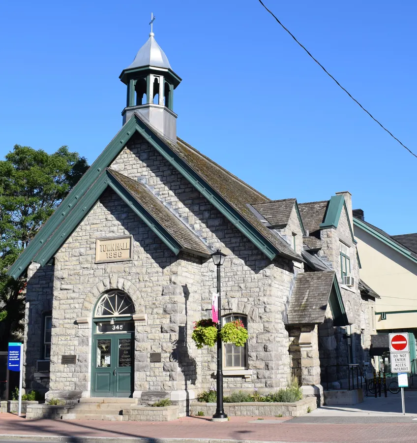
Centrepointe had 9,260 residents in 3,700 private dwellings in the 2021 census, via the Ottawa Neighbourhood Study. The median age was 43.2, and 70.2% of households owned their home. Centrepointe Park is 0.2 km away and Baseline Transitway station is 1.0 km away, both in a straight line. Ben Franklin Place, in Centrepointe, was Nepean's city hall before amalgamation.
Boundaries
Ottawa Neighbourhood Study area 'Centrepointe'. ons-sqo.ca ons-sqo.ca
Homes
In the 2021 census, 41.9% of Centrepointe dwellings were single-detached houses and 37.7% were row houses, with 10.9% in apartment buildings under five storeys and 4.9% in buildings of five or more storeys. Owner households were 70.2% and renter households 29.9%. The median owner-estimated value of owned dwellings was $700,000 (2021 census). ons-sqo.ca
- Population 9,260 (2021 census)
- Median owner-estimated dwelling value $700,000 (2021 census)
- Centrepointe Park 0.2 km away (straight line)
- Baseline Transitway station 1.0 km away (straight line)
- Walk Score averages 22 and Bike Score 78 (ONS data)
- Tree canopy coverage 24.2% (2024)
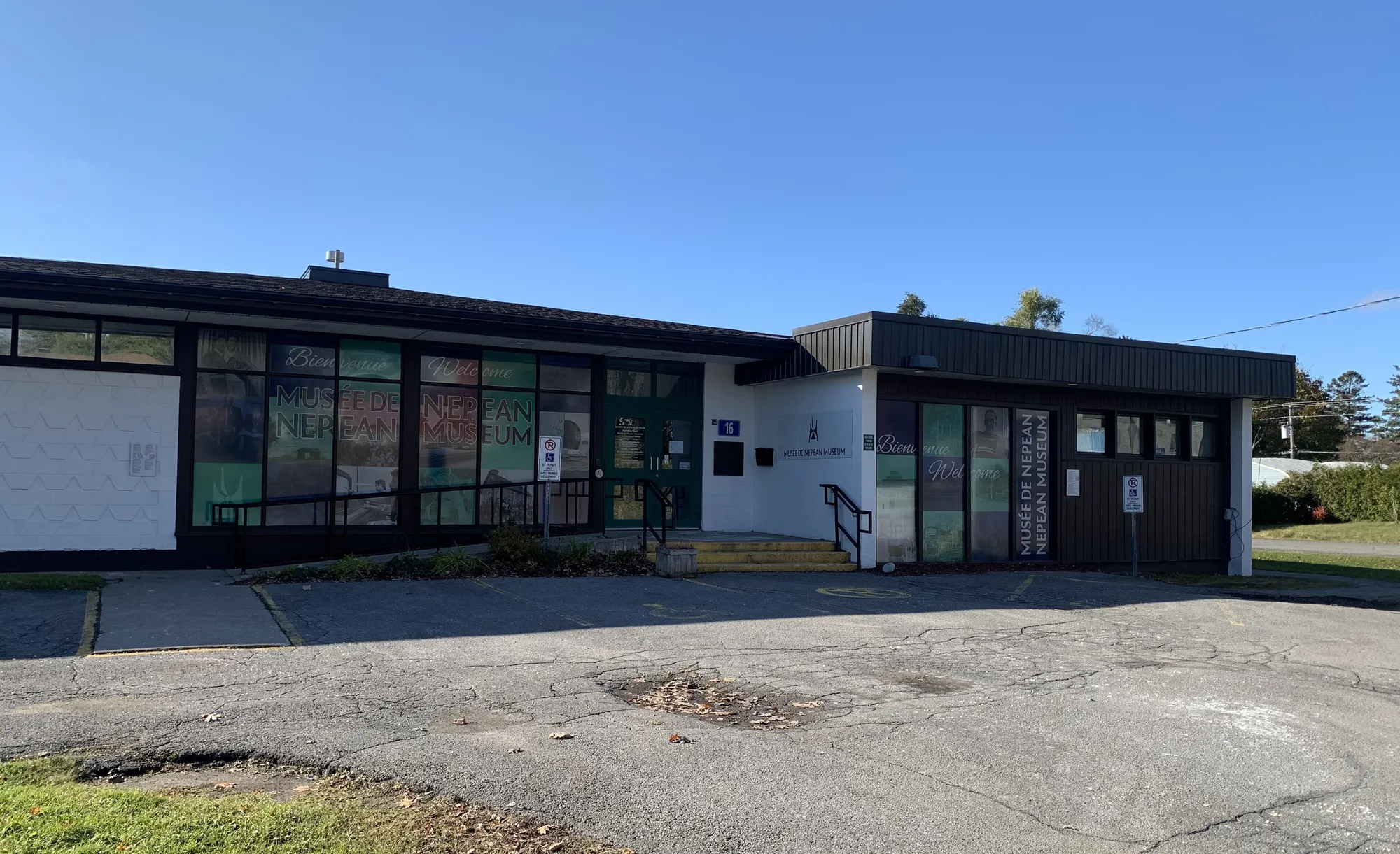
Nepean's urban area expanded in the 1950s and 1960s into formerly rural areas, including the community of Centrepointe. en.wikipedia.org
- 2001
Ben Franklin Place, in Centrepointe, was Nepean's city hall until Nepean became part of Ottawa. It now houses a government office and client service centre, an Ottawa Public Library branch and the Centrepointe Theatre. en.wikipedia.org
Around Centrepointe
Walking rings at 5, 10 and 15 minutes from the neighbourhood centre.
Schools
10 nearbyTorah High Ottawa
Independent261 Centrepointe Drivemaps.ottawa.ca
250 m3 min walkBriargreen Public School
OCDSB19 crois. Parkfield Crmaps.ottawa.ca ocdsb.ca
670 m8 min walkSir Guy Carleton Secondary School
OCDSB55 prom. Centrepointe Drmaps.ottawa.ca ocdsb.ca
730 m9 min walkHamilton Montessori School
Independent2199 terr. Regency Terrmaps.ottawa.ca
910 m11 min walkPinecrest Public School
OCDSB1281 ch. McWatters Rdmaps.ottawa.ca ocdsb.ca
1.2 km15 min walkOur Lady Of Victory School
OCSB1175 rue Soderlind Stmaps.ottawa.ca ocsb.ca
1.2 km15 min walkTerre-des-Jeunes Catholic Elementary School
CECCE1303 rue Fellows Roadmaps.ottawa.ca ecolecatholique.ca
1.2 km15 min walkSir Robert Borden High School
OCDSB131 ch. Greenbank Rdmaps.ottawa.ca ocdsb.ca
1.3 km16 min walkMamawi Public Elementary School
CÉPEO20 rue Harrison Stmaps.ottawa.ca cepeo.on.ca
1.5 km18 min walkSt. John XXIII School
OCSB165 ch. Knoxdale Rdmaps.ottawa.ca ocsb.ca
1.5 km19 min walk
Straight-line distances from the Centrepointe centre. Living near a school does not guarantee a place: confirm the designated school for an address with each board. All schools and board locators.
Parks & places
10 nearbySplash pad, Centrepointe Park
Splash pad (summer only)
260 Centrepointe Drive, Nepeanmaps.ottawa.ca ottawa.ca
140 m2 min walkOutdoor rink, Centrepointe Park
Outdoor rink (winter, weather permitting)
114 Centrepointe Dr.maps.ottawa.ca ottawa.ca
160 m2 min walkCentrepointe Park
Active Recreation park
260 Centrepointe Drivemaps.ottawa.ca
220 m3 min walkRecreational Trail (Hydro Corridor)
Passive Recreation park
259 Centrepointe Drive, Nepeanmaps.ottawa.ca
520 m6 min walkBen Franklin Place
Active Recreation park
101 Centrepointe Drive, Nepeanmaps.ottawa.ca
720 m9 min walkOutdoor rink, Briargreen Park
Outdoor rink (winter, weather permitting)
9 Parkfield Cres.maps.ottawa.ca ottawa.ca
740 m9 min walkBriargreen Park
Active Recreation park
9 Parkfield Crescent, Nepeanmaps.ottawa.ca
780 m10 min walkCraig Henry Park
Active Recreation park
135 Craig Henry Drive, Nepeanmaps.ottawa.ca
970 m12 min walkCharing Park
Active Recreation park
37 Chartwell Avenue, Nepeanmaps.ottawa.ca
1.1 km13 min walkSplash pad, Charing Park
Splash pad (summer only)
37 Chartwell Avenue, Nepeanmaps.ottawa.ca ottawa.ca
1.1 km14 min walk
Shops & dining
8 nearbyPharmaChoice
Pharmacy
117 Centrepointe Driveopenstreetmap.org
640 m8 min walkPharma City Drugstore
Pharmacy
1 Centrepointe Driveopenstreetmap.org
890 m11 min walkBaseline Pharmacy
Pharmacy
2571 Baseline Roadopenstreetmap.org
1.3 km17 min walkRexall
Pharmacy
1363 Woodroffe Avenueopenstreetmap.org
1.4 km18 min walkNepean Medical Pharmacy
Pharmacy
139 Greenbank Roadopenstreetmap.org
1.4 km18 min walkPharmaChoice
Pharmacy
2730 Iris Streetopenstreetmap.org
1.5 km18 min walkLoblaws Pharmacy
Pharmacy
1980 Baseline Roadopenstreetmap.org
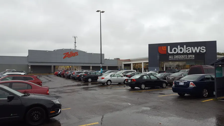
1.5 km18 min walkLoblaws
Supermarket
1980 Baseline Roadopenstreetmap.org
1.5 km18 min walk
Getting around
TransitBaseline station
Transitway / transit station (City of Ottawa transit stations layer)
openmaps.ottawa.ca
1.0 km13 min walkIris station
Transitway / transit station (City of Ottawa transit stations layer)
openmaps.ottawa.ca
1.6 km21 min walkQueensway South station
Transitway / transit station (City of Ottawa transit stations layer)
openmaps.ottawa.ca
2.0 km25 min walkO-Train
Tunney's Pasture station is about 7.5 km away in a straight line (open; Line 1).
O-Train
Carleton station is about 7.6 km away in a straight line (open; Line 2).
Transitway / bus
Baseline station is about 1.0 km away in a straight line (open).
Downtown
Parliament Hill is about 10.7 km away in a straight line.
For sale in Centrepointe
No Centrepointe homes on nepean.homes right now
Selling here? Get a website for your home, or browse every home for sale in the area.

Quick answers
Short answers first; each links to the full answer and its sources.
What is Centrepointe like?
Centrepointe is a Nepean community of 9,260 residents (2021 census) built around Ben Franklin Place, the former Nepean city hall. In 2021, 70.2% of households owned their home and the median owner-estimated dwelling value was $700,000.
As of 2026-10 · ons-sqo.ca en.wikipedia.org