Crestview – Tanglewood
A neighbourhood of mostly bungalows and townhouses beside Merivale Road, with a community centre within 1 km.
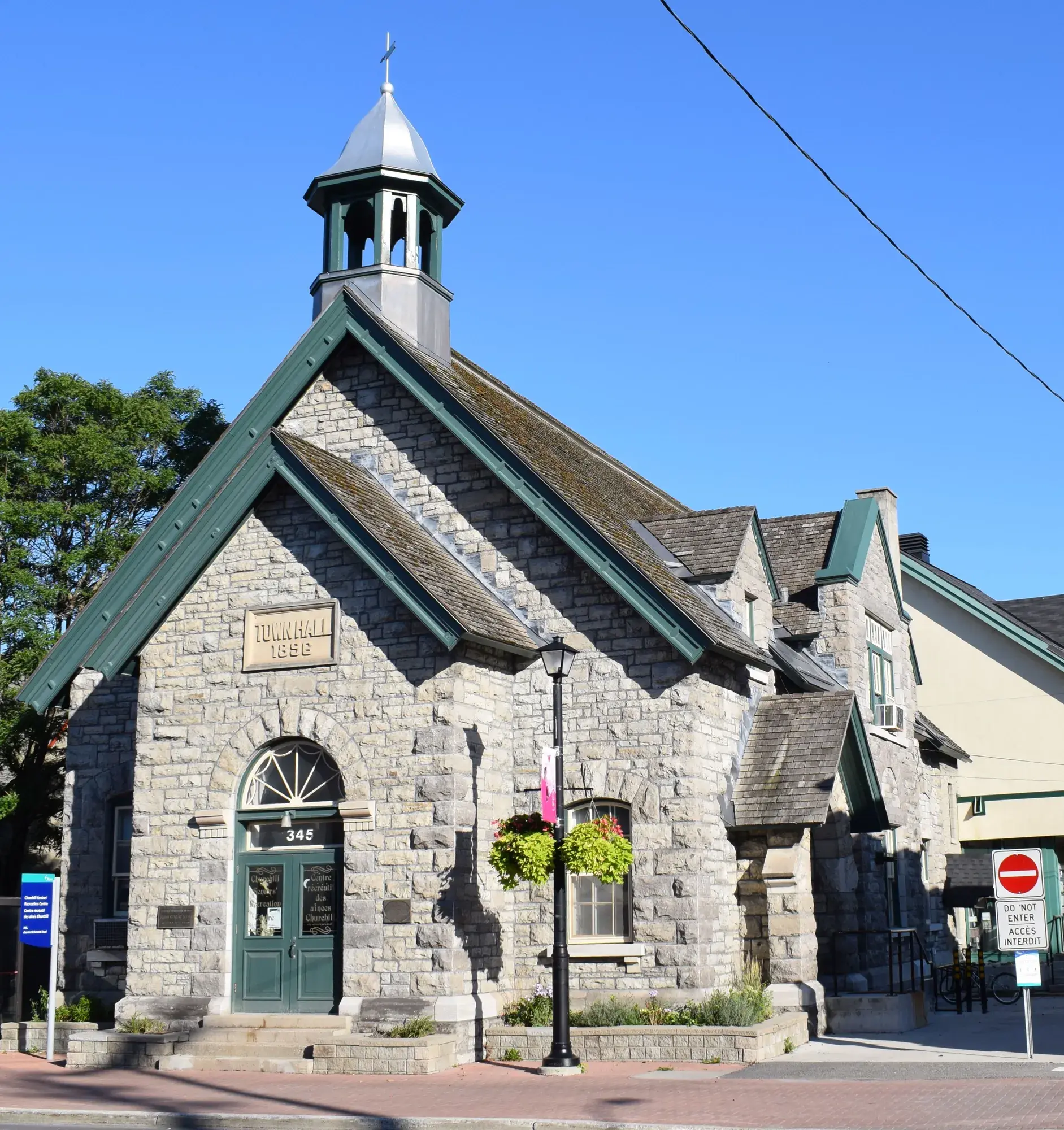
Crestview – Tanglewood had 8,305 residents in 3,240 private dwellings in the 2021 census, via the Ottawa Neighbourhood Study. Population: 8,305 (2021).
Updated · Facts on this page link to their sources
About Crestview – Tanglewood
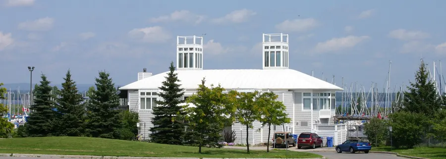
Crestview – Tanglewood had 8,305 residents in 3,240 private dwellings in the 2021 census, via the Ottawa Neighbourhood Study. Wikipedia notes most homes are bungalows from the 1950s and early 1960s, with townhouses added later. Crestview Pavilion is 0.6 km and Tanglewood Park Community Centre 0.8 km away in a straight line. Merivale High School is 1.1 km away in a straight line.
Boundaries
Ottawa Neighbourhood Study area 'Crestview - Tanglewood'. ons-sqo.ca ons-sqo.ca
Homes
In the 2021 census, 43.5% of dwellings were single-detached houses, 29.2% row houses and 18.3% semi-detached, with 4.0% in apartment buildings under five storeys and 4.0% in larger buildings. Owner households were 70.2% and renter households 29.7%. The median owner-estimated value of owned dwellings was $500,000 (2021 census). ons-sqo.ca
- Population 8,305 (2021 census)
- Median owner-estimated dwelling value $500,000 (2021 census)
- Crestview Pavilion 0.6 km and Tanglewood Park Community Centre 0.8 km away (straight line)
- Bob Mitchell Park 0.6 km away (straight line)
- Merivale High School (OCDSB) 1.1 km away (straight line)
- Served by the Crestview-Meadowlands Community Association
Community
How Crestview – Tanglewood came to be
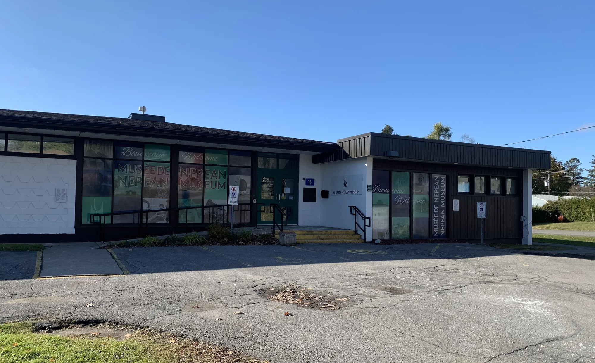
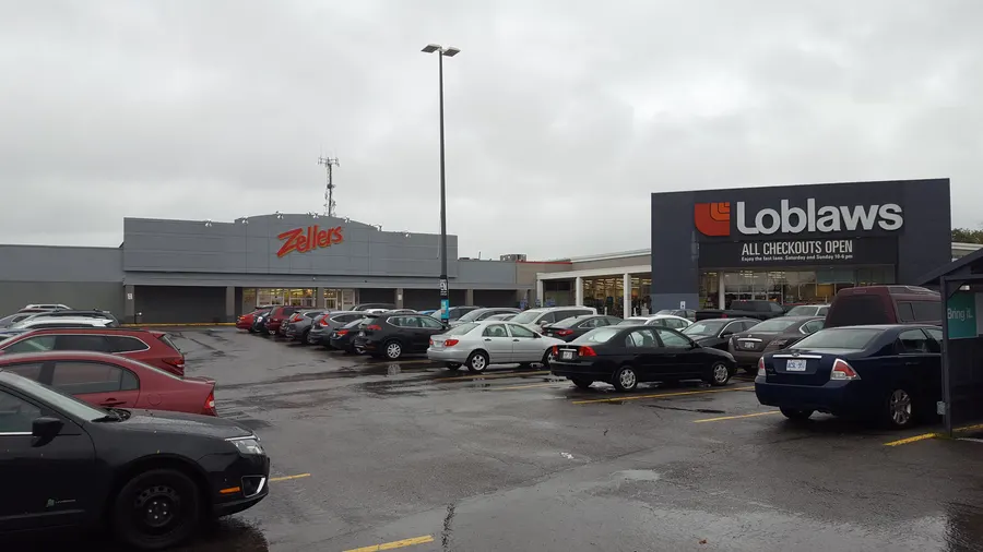
Most Crestview homes are bungalows that were popular in the 1950s and early 1960s; townhouses were built later behind Merivale Mall. en.wikipedia.org
- 1977
Merivale Mall was built in 1977. en.wikipedia.org
Viewmount Drive was extended to Fisher Avenue in the early 1980s for the development of Fisher Glen. en.wikipedia.org
Around Crestview – Tanglewood
Walking rings at 5, 10 and 15 minutes from the neighbourhood centre.
Schools
8 nearbyAbraar School
Independent70 rue Fieldrow Stmaps.ottawa.ca
530 m7 min walkMeadowlands Public School
OCDSB10 rue Fieldrow Stmaps.ottawa.ca ocdsb.ca
690 m9 min walkSt. Gregory School
OCSB148 rue Meadowlands Dr Wmaps.ottawa.ca ocsb.ca
970 m12 min walkMerivale High School
OCDSB1755 ch. Merivale Rdmaps.ottawa.ca ocdsb.ca
1.1 km14 min walkSt. Josephine Virtual High School
OCSB570 ch. West Hunt Club Roadmaps.ottawa.ca ocsb.ca
1.2 km16 min walkBlessed Carlo Virtual School
OCSB570 ch. West Hunt Club Roadmaps.ottawa.ca ocsb.ca
1.3 km16 min walkOttawa-Carleton Virtual School
OCDSB1645 Woodroffe Avenuemaps.ottawa.ca ocdsb.ca
1.3 km17 min walkElizabeth Wyn Wood Alternate Program (Nepean)
OCDSB20 av. Rossland Avemaps.ottawa.ca ocdsb.ca
1.6 km20 min walk
Straight-line distances from the Crestview – Tanglewood centre. Living near a school does not guarantee a place: confirm the designated school for an address with each board. All schools and board locators.
Parks & places
10 nearbyRecreational Trail (Hydro Corridor)
Passive Recreation park
31 Woodfield Drive, Nepeanmaps.ottawa.ca
490 m6 min walkParkland (Hydro Corridor)
Active Recreation park
72 Medhurst Drive, Nepeanmaps.ottawa.ca
530 m7 min walkMedhurst Park
Active Recreation park
72 Medhurst Drive / 403 Woodfield Drivemaps.ottawa.ca
540 m7 min walkCrestview Outdoor Pool
Outdoor pool (full pool)
580 m7 min walkBob Mitchell Park
Active Recreation park
58 Fieldrow Street, Nepeanmaps.ottawa.ca
580 m7 min walkCrestview Pavilion
Recreation Complex
58 Fieldrow Stmaps.ottawa.ca ottawa.ca
600 m8 min walkRecreational Trail (Hydro Corridor)
Passive Recreation park
32 Woodfield Drive, Nepeanmaps.ottawa.ca
730 m9 min walkRecreational Trail
Passive Recreation park
651 West Hunt Club Road, Nepeanmaps.ottawa.ca
780 m10 min walkTanglewood Park Community Centre
Community Centre
30 Woodfield Drmaps.ottawa.ca ottawa.ca
840 m10 min walkTanglewood Park
Active Recreation park
30 Woodfield Drive, Nepeanmaps.ottawa.ca
860 m11 min walk
Shops & dining
10 nearbyShoppers Drug Mart
Pharmacy
1642 Merivale Roadopenstreetmap.org
940 m12 min walkMerivale Mall
Shopping centre
1642 Merivale Roadopenstreetmap.org
960 m12 min walkBombay Spices
Supermarket
565 West Hunt Club Roadopenstreetmap.org
970 m12 min walkFarm Boy
Supermarket
1642 Merivale Roadopenstreetmap.org
1.0 km13 min walkSilk Road Foods
Supermarket
1620 Merivale Roadopenstreetmap.org
1.1 km14 min walkMetro
Supermarket
1705 Merivale Roadopenstreetmap.org
1.2 km14 min walkWoodroffe Pharmacy
Pharmacy
1637 Woodroffe Avenueopenstreetmap.org
1.2 km15 min walkGreen Fresh Supermarket
Supermarket
1695 Merivale Roadopenstreetmap.org
1.2 km15 min walkCostco Pharmacy
Pharmacy
1849 Merivale Roadopenstreetmap.org
1.4 km18 min walkMarina Pharmacy
Pharmacy
1568 Merivale Roadopenstreetmap.org
1.4 km18 min walk
Getting around
TransitBaseline station
Transitway / transit station (City of Ottawa transit stations layer)
openmaps.ottawa.ca
1.9 km23 min walkO-Train
Airport station is about 5.9 km away in a straight line (open; Line 4).
O-Train
Mooney's Bay station is about 6.0 km away in a straight line (open; Line 2).
Transitway / bus
Baseline station is about 1.9 km away in a straight line (open).
Downtown
Parliament Hill is about 9.9 km away in a straight line.
For sale in Crestview – Tanglewood
No Crestview – Tanglewood homes on nepean.homes right now
Selling here? Get a website for your home, or browse every home for sale in the area.

Quick answers
Short answers first; each links to the full answer and its sources.
What is Crestview – Tanglewood like?
Crestview – Tanglewood is a Nepean area of 8,305 residents (2021 census) where, per Wikipedia, most homes are 1950s and early 1960s bungalows with townhouses added later. In 2021, 43.5% of dwellings were single-detached and the median owner-estimated dwelling value was $500,000.
As of 2026-10 · ons-sqo.ca en.wikipedia.org