City view
An older grid-pattern neighbourhood beside Algonquin College, split almost evenly between owners and renters.
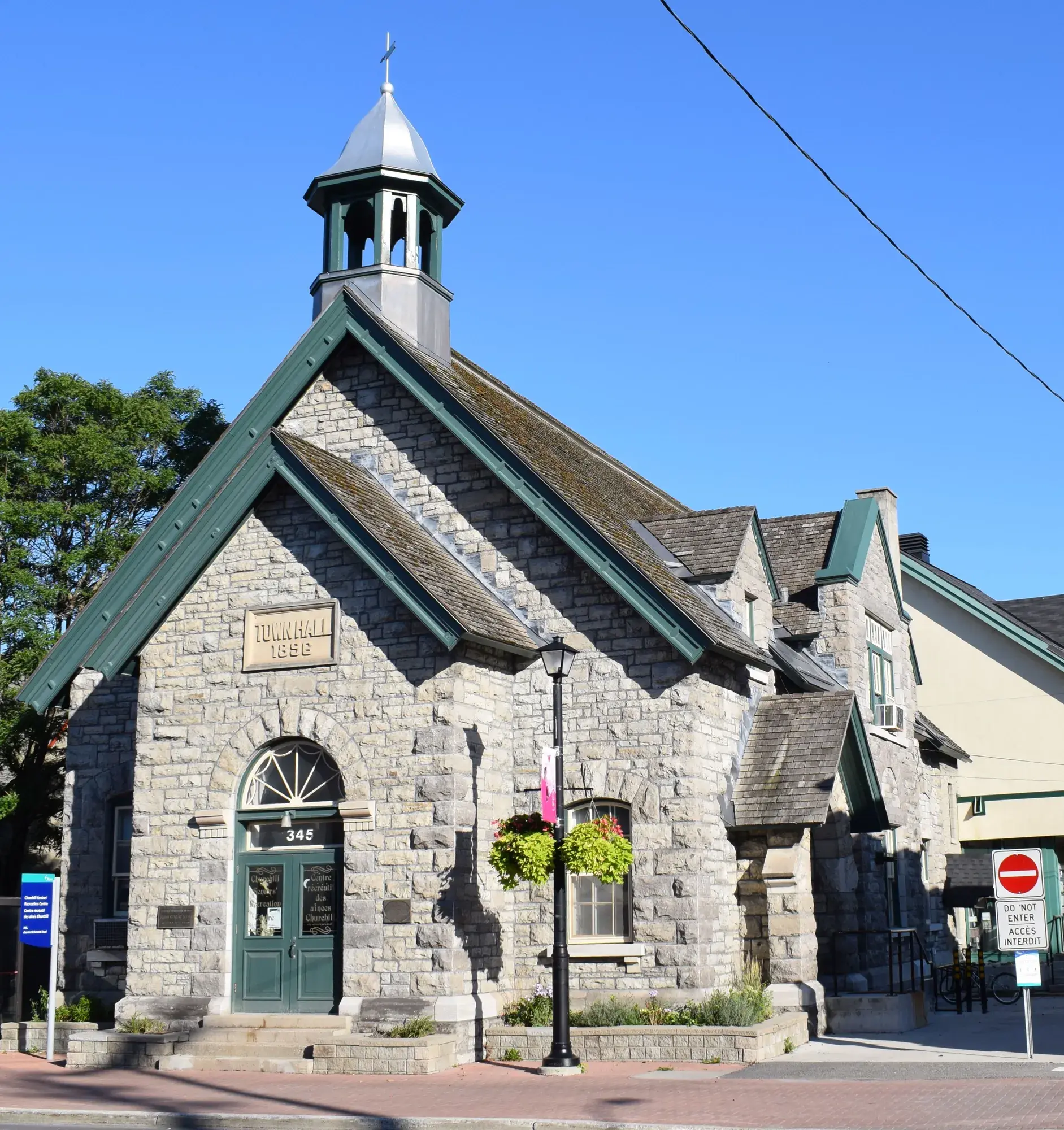
City view had 6,645 residents in 2,600 private dwellings in the 2021 census, via the Ottawa Neighbourhood Study. Population: 6,645 (2021).
Updated · Facts on this page link to their sources
About City view
City view had 6,645 residents in 2,600 private dwellings in the 2021 census, via the Ottawa Neighbourhood Study. Renters made up 50.3% of households and owners 50.1%. Wikipedia notes most homes were built from the 1930s to the 1960s, with infill replacing some since the early 2000s. The median owner-estimated value of $750,000 (2021 census) was the highest of the twelve areas.
Boundaries
Ottawa Neighbourhood Study area 'City view'. ons-sqo.ca ons-sqo.ca
Homes
In the 2021 census, 58.9% of dwellings were single-detached houses, with 16.4% in smaller apartment buildings, 13.7% in buildings of five or more storeys and 7.8% row houses. Renter households were 50.3% and owner households 50.1%. The median owner-estimated value of owned dwellings was $750,000 (2021 census). ons-sqo.ca
- Population 6,645 (2021 census)
- Median age 31.8 (2021 census)
- Median owner-estimated dwelling value $750,000 (2021 census)
- Public transit commute share 28.3%, the highest of the twelve areas (2021 census)
- Baseline Transitway station 1.1 km away (straight line)
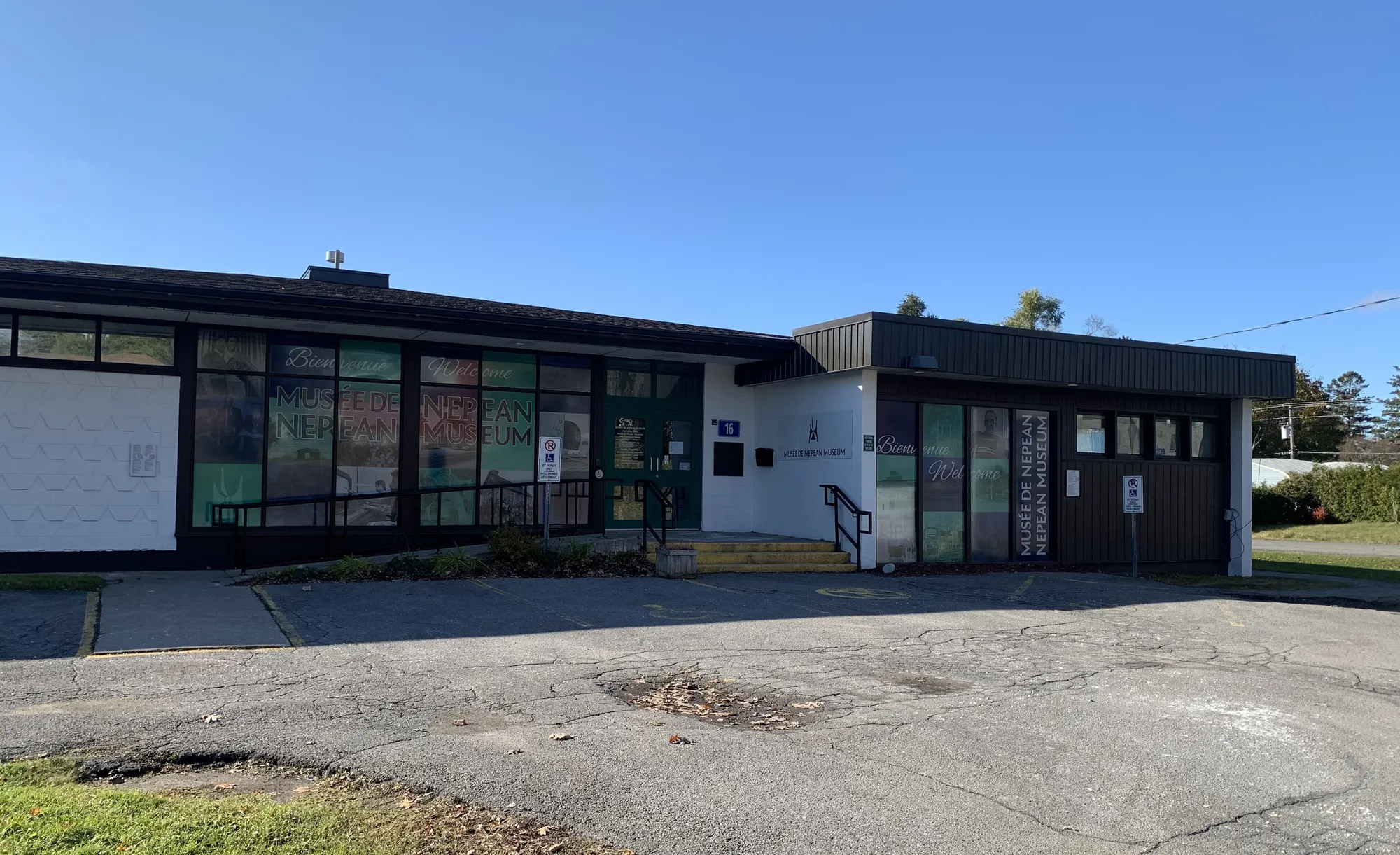
- Next to Algonquin College; the Nepean Museum is in the neighbourhood
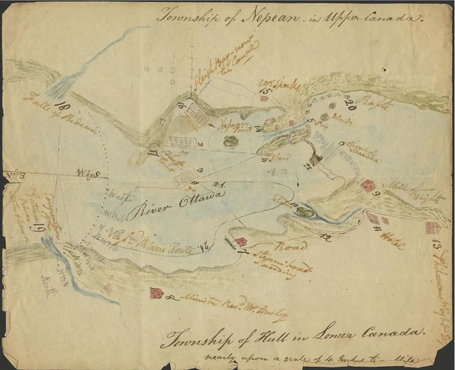
- 1954
City View existed as a police village from 1954 to 1974, and its older history gave it a grid pattern of streets. en.wikipedia.org
- 1957
The Nepean Public Library officially opened on March 1, 1957, originally under the name City View Public Library. en.wikipedia.org
Some older homes began to be demolished and replaced with infill by the early 2000s, a trend that has continued into the mid-2020s. en.wikipedia.org
Around City view
Walking rings at 5, 10 and 15 minutes from the neighbourhood centre.
Schools
10 nearbyElizabeth Wyn Wood Alternate Program (Nepean)
OCDSB20 av. Rossland Avemaps.ottawa.ca ocdsb.ca
870 m11 min walkSt. Gregory School
OCSB148 rue Meadowlands Dr Wmaps.ottawa.ca ocsb.ca
920 m11 min walkAbraar School
Independent70 rue Fieldrow Stmaps.ottawa.ca
1.1 km13 min walkAgincourt Road Public School
OCDSB1250 ch. Agincourt Rdmaps.ottawa.ca ocdsb.ca
1.1 km13 min walkMeadowlands Public School
OCDSB10 rue Fieldrow Stmaps.ottawa.ca ocdsb.ca
1.2 km14 min walkSt. Daniel School
OCSB1313 rue Field Stmaps.ottawa.ca ocsb.ca
1.2 km15 min walkSir Guy Carleton Secondary School
OCDSB55 prom. Centrepointe Drmaps.ottawa.ca ocdsb.ca
1.5 km19 min walkTorah Day School of Ottawa
Independent1119 rue Lazard Stmaps.ottawa.ca
1.5 km19 min walkTerre-des-Jeunes Catholic Elementary School
CECCE1303 rue Fellows Roadmaps.ottawa.ca ecolecatholique.ca
1.5 km19 min walkSir Winston Churchill Public School
OCDSB49 av. Mulvagh Avemaps.ottawa.ca ocdsb.ca
1.6 km20 min walk
Straight-line distances from the City view centre. Living near a school does not guarantee a place: confirm the designated school for an address with each board. All schools and board locators.
Parks & places
8 nearbyOutdoor rink, Doug Frobel Park
Outdoor rink (winter, weather permitting)
16 Rowley Ave.maps.ottawa.ca ottawa.ca
580 m7 min walkRyan Farm Park
Active Recreation park
5 Parkglen Drive, Nepeanmaps.ottawa.ca
590 m7 min walkOutdoor rink, Agincourt Park
Outdoor rink (winter, weather permitting)
1269 Albany Dr.maps.ottawa.ca ottawa.ca
1.1 km14 min walkBob Mitchell Park
Active Recreation park
58 Fieldrow Street, Nepeanmaps.ottawa.ca
1.1 km14 min walkCrestview Pavilion
Recreation Complex
58 Fieldrow Stmaps.ottawa.ca ottawa.ca
1.1 km14 min walkCrestview Outdoor Pool
Outdoor pool (full pool)
1.1 km14 min walkOttawa Public Library Emerald Plaza Branch
Public Library
1547 Merivale Rdmaps.ottawa.ca biblioottawalibrary.ca
1.2 km15 min walkBen Franklin Place
Active Recreation park
101 Centrepointe Drive, Nepeanmaps.ottawa.ca
1.4 km17 min walk
Shops & dining
10 nearbyRexall
Pharmacy
1363 Woodroffe Avenueopenstreetmap.org
820 m10 min walkLoblaws Pharmacy
Pharmacy
1980 Baseline Roadopenstreetmap.org
880 m11 min walkLoblaws
Supermarket
1980 Baseline Roadopenstreetmap.org
900 m11 min walkMarina Pharmacy
Pharmacy
1568 Merivale Roadopenstreetmap.org
1.0 km13 min walkMerivale Ideal Pharmacy
Pharmacy
1390 Clyde Avenueopenstreetmap.org
1.1 km14 min walkThe Indian Supermarket
Supermarket
1547 Merivale Roadopenstreetmap.org
1.1 km14 min walkRexall
Pharmacy
1595 Merivale Roadopenstreetmap.org
1.2 km15 min walkFreshCo
Supermarket
1595 Merivale Roadopenstreetmap.org
1.2 km15 min walkSilk Road Foods
Supermarket
1620 Merivale Roadopenstreetmap.org
1.3 km16 min walkPharmasave
Pharmacy
1366 Clyde Avenueopenstreetmap.org
1.3 km16 min walk
Getting around
TransitBaseline station
Transitway / transit station (City of Ottawa transit stations layer)
openmaps.ottawa.ca
1.1 km14 min walkIris station
Transitway / transit station (City of Ottawa transit stations layer)
openmaps.ottawa.ca
1.8 km22 min walkO-Train
Carleton station is about 5.6 km away in a straight line (open; Line 2).
O-Train
Mooney's Bay station is about 5.7 km away in a straight line (open; Line 2).
Transitway / bus
Baseline station is about 1.1 km away in a straight line (open).
Downtown
Parliament Hill is about 8.8 km away in a straight line.
For sale in City view
No City view homes on nepean.homes right now
Selling here? Get a website for your home, or browse every home for sale in the area.

Quick answers
Short answers first; each links to the full answer and its sources.
What is City view like?
City view is an older Nepean neighbourhood of 6,645 residents (2021 census), with a grid street pattern and homes mostly built from the 1930s to the 1960s. Renters were 50.3% and owners 50.1% of households in 2021, and the median owner-estimated dwelling value was $750,000.
As of 2026-10 · ons-sqo.ca en.wikipedia.org